The weather prediction was really nice so there was finally a change to do a XC flight.

The overall RAPS BLIPMAPS impression also looked very good. One of the cool things available is a cross section (prognosis) of the air column during the day at certain locations.
This model calculates things like cloud base and potential flight distance. For this day I expect I can reach 1500 or maybe 1600 metres. This is very nice. This is why: when arriving at an airfield you need 200 metre to fly a circuit. Add 100 metre extra if you’re not so familiar with the field you’re visiting.
When out of reach of your airfield of choice you need to evaluate a possible area for an outlanding when reaching 700 metres. At 500 metres you need to pick your field and at 300 metre you need to abort flight , inspect your field and land.
So if you fly high your workload is reduced and you can really enjoy. Under 700 metres it becomes multitasking between staying afloat and find a suitable area for a landing.
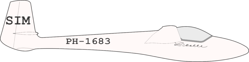
So If I can climb to 1600 metre I have 900 metres, corresponding to a theoretical glide range of 33.3 km/h (based on glide ratio for the libelle of 1:37) without stress ! Naturally there are a lot of factors that give a penalty to the range.

The wind direction expected is pretty much West 270 degrees at 2 meter above the surface the wind was 4-6 m/s (18 km/h). Probably the wind speeds are much higher at an altitude of 1000 metres. The wind and thus drift while cruising and thermalling is a thing you always need to keep in mind.
During flight I encountered 35+ km/h wind speeds so if you’re thermalling for 15 minutes you drift approx. 8.75km downwind ! If the thermals are too weak you can not make up the distance to get back !

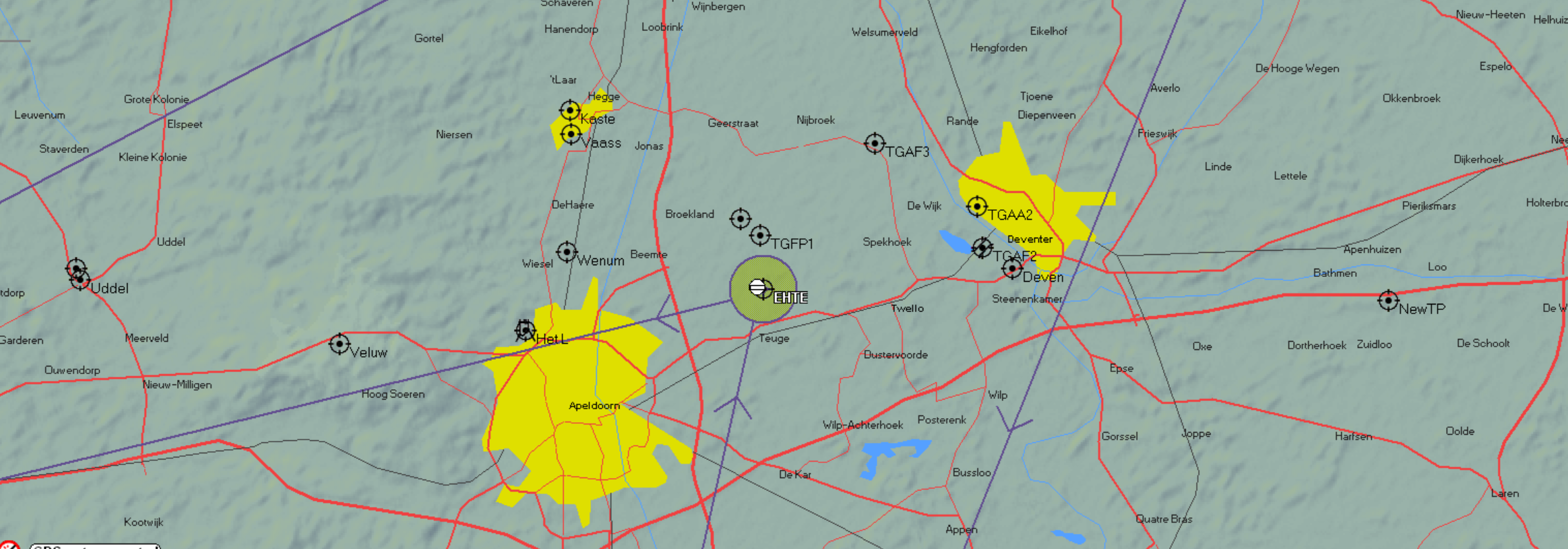
Before starting the day I created a task, since this is almost 500km this is way to much for my capabilities but the idea is: I fly in the vicinity of Teuge and decide based on what I observe which waypoint I select and try to make a round trip.

A very important thing in preparation (before flight) is to know the airspaces you encounter and check the Notam (Note to Airman). In my flight computer I can easily check things like used radio frequencies etc. If you’re unsure you can find it very quick using your phone or computer, go low tech! simply write it down on a post-it or something like that.
When flying a few kilometres north of Apeldoorn I decided I would try to go to EHDS (Lemelerveld) . Because the wind was quite strong there were cloud streets forming.
To make sure not to drift too far east I decided to fly straight north, crossing a lot of cloud streets. And stay West of the river De IJsel . When north enough I would turn 90 degrees East and try to use a cloud street to go to Lemelerveld and back.

Aero Club Salland EHDS city Lemelerveld home of : Aero Club Salland picture taken from FL46
This was a good idea but on the way back the cloud street did not produce enough lift to keep a good altitude.
I diverted a little bit North and picked up a nice thermal near Zwolle.
The way back to Teuge was fairly straightforward, I stopped halfway to thermal to 1500 metre.
The weather looked a little bit less inviting when I reached Teuge. I had altitude enough to try and fly further to Malden, but I decided that I would land and just enjoy the fact that I did not land out 😉


Leave a Reply
You must be logged in to post a comment.